


10th: Kuitpo (Rocky creek/Jupiters creek)
A little bit of everything for everyone

Common starting location: Rocky Creek Car Park (Razorback road).
https://maps.app.goo.gl/3hoWg5TP6eLMLqSB9
Estimated Travel time from CBD: 45minutes one way. NB: Caution on Razorback road when wet.
Toilet: Yes. Drop Box at Rocky Creek Hut. NB: Probably bring your own toilet paper.
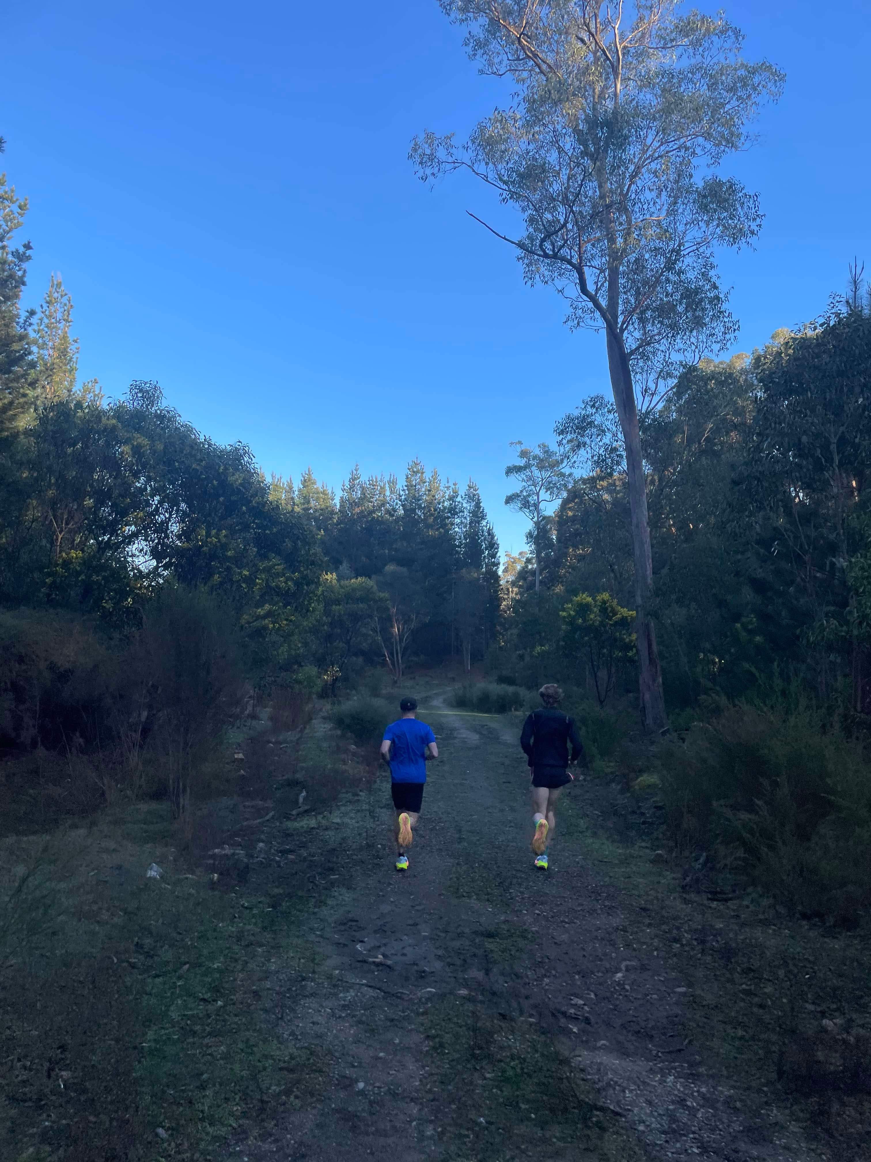
Terrain type: Unsealed roads, native forest trails & Fire Trail (great variety)
Severity: Easy to Moderate (Can be hard if you venture west towards Mt Bold). A regular route I’d do would have about 280-360m elevation gain over 20-24km.
Strava Routes:
a) https://www.strava.com/activities/8660876115 (Varied Forestry route - 23km – 320m elevation gain)
b) https://www.strava.com/activities/10823124204/overview (unsealed roads - good for steady tempo running – 15.2km – 240m elevation gain
Post run fuelling: Clarendon Bakery.
https://www.facebook.com/p/clarendon-bakery-100066615380472/
Overview:
I first starting coming here in 2017 seeking a nice long run location of predominantly trails without too much climbing. Rocky creek is a great location for running anywhere from 60-120minutes with a great combination of native or forest trail/fire track with some great surrounding unsealed roads. In fact, you can connect both the rocky creek forest to the southernly placed Jupiter’s creek forest within about 10 minutes of running (see Strava route a). The rocky creek forest is actually quite flat, with mild undulations at best with a great combination of native forest (right next to rocky creek hut) and forest plantation. However, if you want some more climbing, Jupiter’s creek forest certainly offers sections of some decent rollers and a couple extended climbs that will be up to about 1 mile in distance.
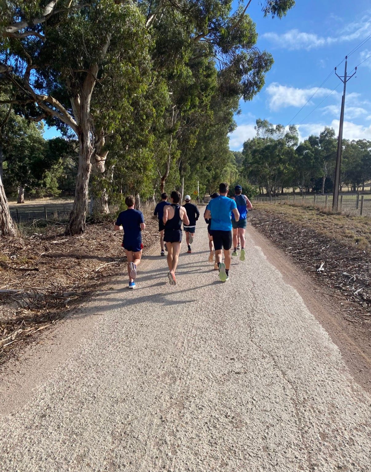
One big pro of this running locations is the pure variety of surface and terrain. Some fantastic unsealed roads surround the forests and are very good under foot. Razorback road takes you west to Mount Bold, Pocock road takes you north passing some great farm land views towards Jupiter’s creek (which is an historical gold-digging region), while Sidler road will take you south toward Dashwood gully. These white roads provide great scenery, just be mindful that you will share the road with local farmers in the area. There’s plenty of wildlife around, both native birds/mammals and farm animals are everywhere. The white roads provide good surface and gradual hills which make it ideal for hilly tempo runs (Strava route b).
Big group runs can leave form here, with decent parking around rocky creek. If there is large variance in running abilities can be accommodated out here due to some easy terrain and some challenging options in close vicinity (i.e. you can run the first half of the run flat then go hilly later on if you feel – or vice versa).
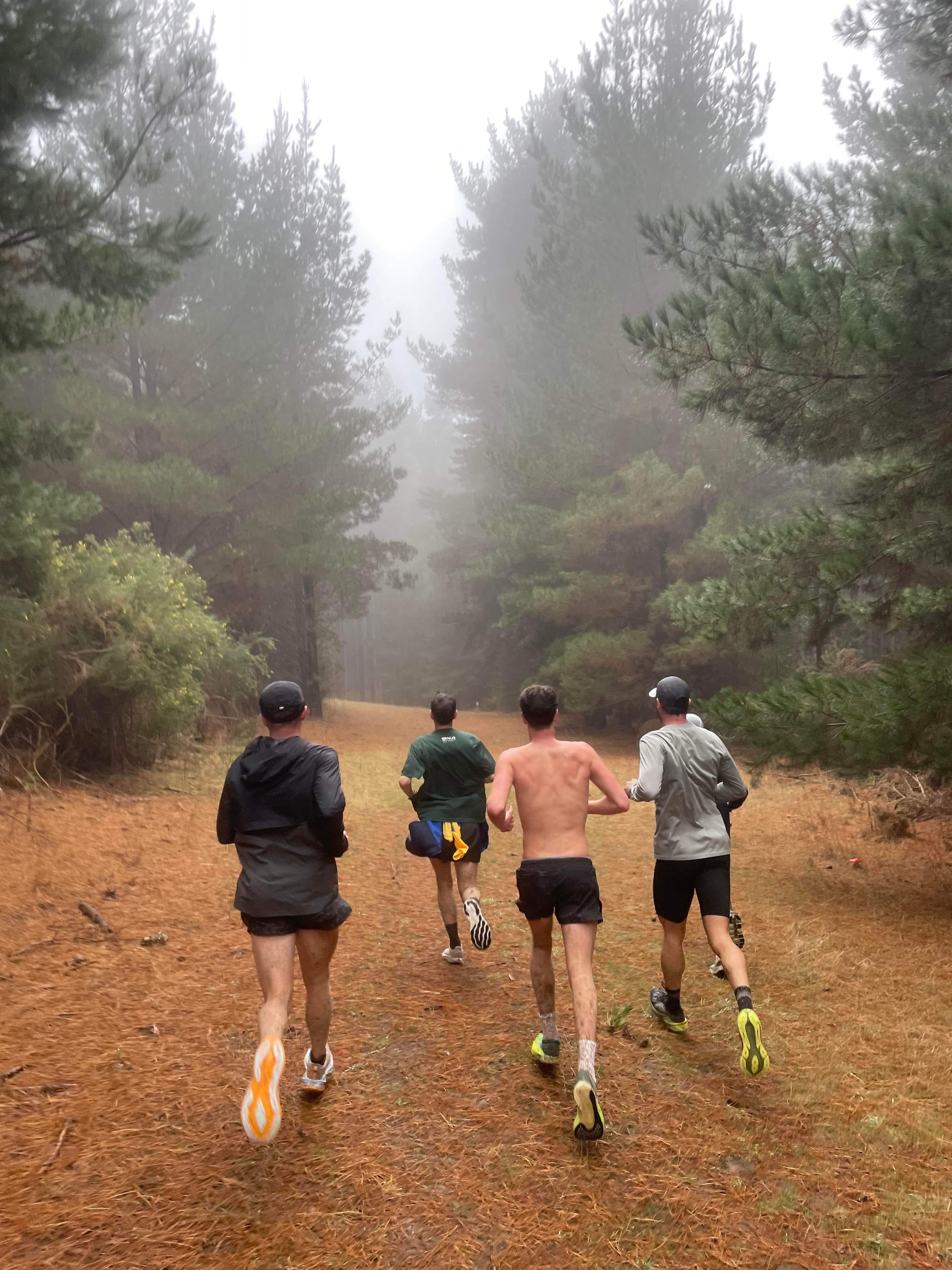
In the winter, these trails can collect a decent amount of water and creek formations are common which can add to the fun! The white roads can be a bit slippery when commuting to the location so it’s important to be cautious when wet. Normal daily road trainers will suffice, and rarely you’ll actually need trail shoes as there is not a lot of single tracks around, but there are some sections that get water logged where lugs on your outsole are useful.
Post run, the clarendon bakery is a fantastic option for fuelling and there is some premium seating location next to a scenic creek in Clarendon Bicentennial Park.
Next up.
9th: Cleland National Park